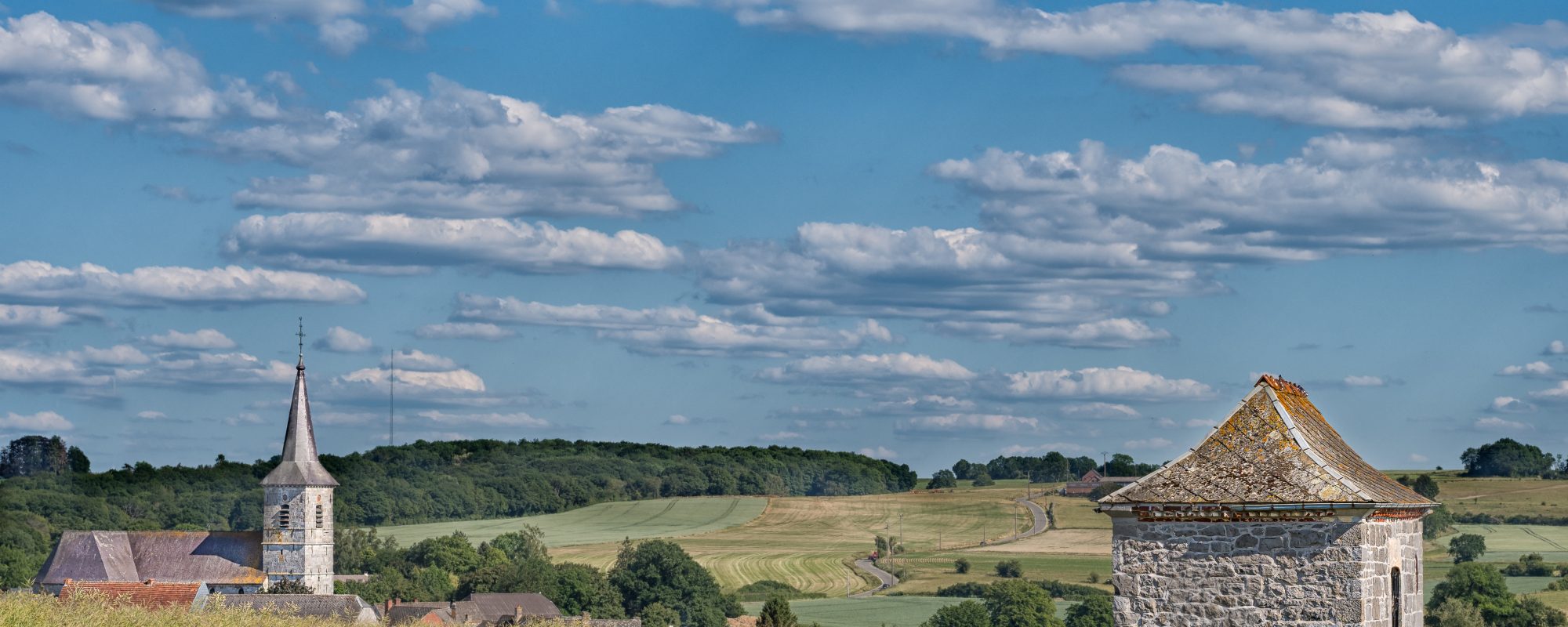
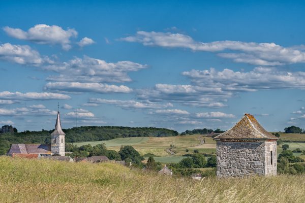
Fagne-Famenne,A vast depression swathed in meadows
Framed by the horizons of the Condroz and the edge of the Ardennes plateau, the landscape of Fagne-Famenne is covered with meadows in a peaceful relief, punctuated by wooded hills

Framed by the horizons of the Condroz and the edge of the Ardennes plateau, the landscape of Fagne-Famenne is covered with meadows in a peaceful relief, punctuated by wooded hills

The Fagne-Famenne region consists of a vast depression with an extensive network of waterways. Stretched out between the Condroz plateau and the wooded areas of the Ardennes, this landscape offers a generally peaceful relief, structured by alternating strips of woodland and meadows punctuated by villages.
A particular landscape area, the “Calestienne”, hems in the shale depression of Fagne (west of the Meuse) and Famenne (east of the Meuse), thus ensuring a transition towards the edge of the Ardennes plateau. This narrow limestone plateau is enlivened by elongated hills called “tiennes”.
Stretched out between the Condroz plateau and the wooded areas of the Ardennes, this landscape offers a generally peaceful relief, structured by alternating strips of woodland and meadows punctuated by villages. A particular landscape area, the “Calestienne”, borders the shale depression of Fagne (west of the Meuse) and Famenne (east of the Meuse), thus ensuring a transition towards the edge of the Ardennes plateau. This narrow limestone plateau is enlivened by elongated hills called “tiennes”.
In this natural setting, people settled mainly in the southern part of the region, looking for contact zones between the limestone plateau and the shale depression, which was more suitable for the construction of villages. This rural landscape fabric of the Fagne-Famenne determined an agricultural structure belonging to the Openfield model dominated by meadows.
The various land uses were thus staggered according to the relief. With its poor, damp soil, the bottom of the shale valley is home to meadows and orchards where a few hedges remain in the form of untrimmed shrubbery. The flat areas of the limestone plateau, rich in nutrients, are covered in non-enclosed crops, while the steepest hillsides and narrow limestone plateaus of elongated hills (called “tiennes”), with skeletal soils, belong to woods and limestone grasslands. Once grazed by sheep, these grasslands conceal a natural environment of exceptional biodiversity.
In Famenne, most villages are densely populated, with buildings very close to one another, but without joining together. Often located on a hillside, the villages are laid out in layers on the relief while carefully avoiding the bottom of the depression. On the Fagne side, a scattered settlement is frequently sandwiched between the villages.
Maison du Tourisme Famenne-Ardenne Ourthe & Lesse
Place de l’Etang 15, 6900 Marche-en-Famenne
Tél. : +32 (0) 84 34 53 27
Site web
Maison du Tourisme Ourthe-Vesdre-Amblève
Rue de Louveigné 3, 4920 Remouchamps
Tél. : +32 (0) 4 384 35 44
Site web
Maison du Tourisme Pays des Lacs
Route de la Plate Taille 99, 6440 Boussu-lez-Walcourt
Tél. : +32 (0) 71 14 34 83
Site web
Maison du Tourisme de la Forêt de Saint-Hubert
Place du Marché, 15 6870 Saint-Hubert
Tél. : +32 (0) 61 61 30 10
Site web
Prolongez aussi votre visite en Wallonie sur VISITWALLONIA.BE
The association Les Plus Beaux Villages de Wallonie (The Most Beautiful Villages of Wallonia) oversees a network of 32 villages, bearers of a strong territorial identity and reflecting traditional architecture. It is committed to promoting the rural, cultural and natural heritage of Wallonia and is a part of the development of local and responsible tourism.
More information